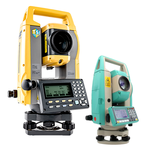
The Data Collector is a powerful field companion designed to streamline surveying workflows by capturing, storing, and managing geospatial data in real time. Built for accuracy and efficiency, it seamlessly connects with Total Stations and GNSS systems, helping professionals work faster and smarter in the field.
Key Features
- Real-time data collection for fast and accurate field recording
- Seamless connectivity with Total Stations and GNSS RTK systems
- High-resolution touchscreen display for easy navigation and input
- Rugged and weather-resistant design for harsh field conditions
- Long battery life for extended surveying operations
- Advanced surveying software compatibility
- Large storage capacity for extensive project data
- Wireless data transfer (Bluetooth / Wi-Fi / USB)